
- Hikes in Arizona
- Northern Arizona
- Mormon Mountain Trail
Mormon Mountain Trail


Location
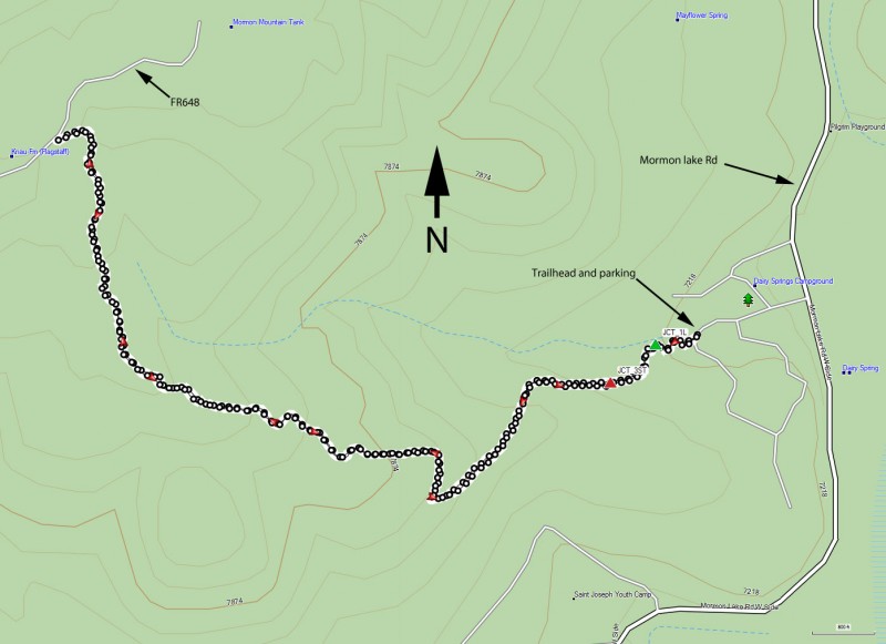
From the Phoenix area, take I-17 North to the point where I-40, I-17, and HWY89A meet. Take the Lake Mary Road exit and head south. Go about 20 miles on this road to the turnoff to the Mormon Lake Road on the right. Turn right here and go 3.7 miles to the turnoff to the Dairy Springs Campground. Follow the signs for the Mormon Trail and go another 0.3 miles to the trailhead. The road is a bit rough, but if you go slow, passenger cars are still OK for now.
Hike details
Season
- May
- June
- July
- August
- September
Solitude
Difficulty
Permits
Hike up the Mormon Mountain trail near Flagstaff, Arizona.
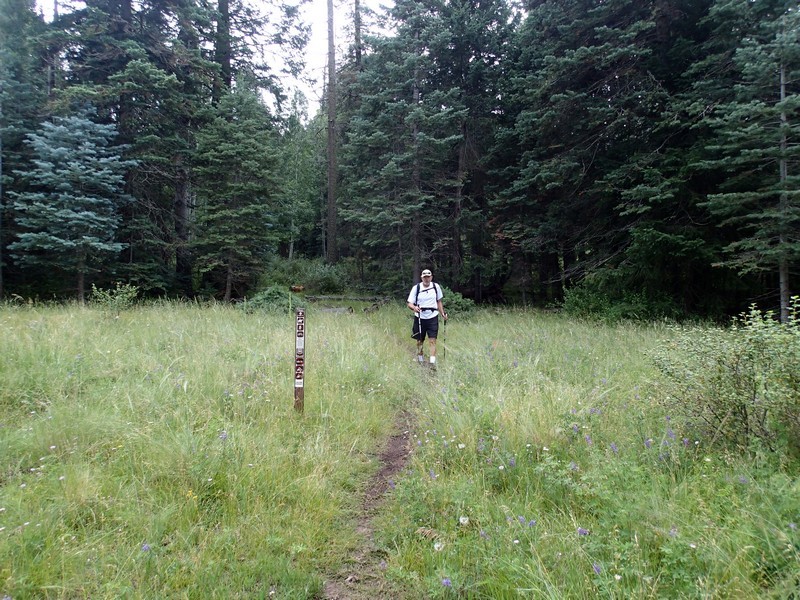
This hike starts next to the Dairy Springs Campground and the start is well signed. There is forest service information here showing the different trails in the area. The trail we are interested in is marked "Mormon Mountain Trail #58".
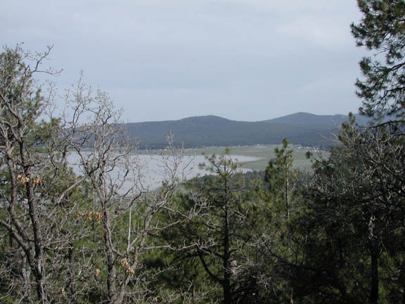
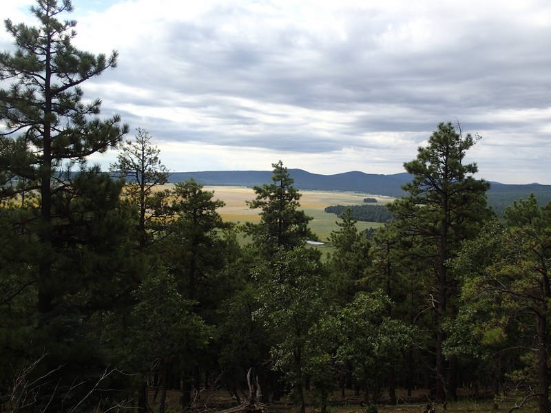
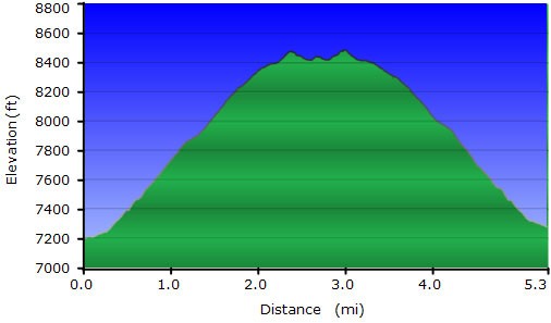
This trail gains elevation steadily from the parking area. There is a display here that provides some interesting information about old growth forests. There is some early route finding, but all the trail junctions are well signed. At the first trail junction (JCT_1L on the map) stay left to stay on the Mormon Mountain trail. Soon you'll pass through a gate and again stay on the trail signed for Mormon Mountain. After 0.4 miles of hiking, the Arizona trail crosses Mormon Mountain trail (JCT_3ST on the map). Go straight (this point is well signed) at this point. While hiking along this trail be sure to catch the elusive glimpses of Mormon lake coming into view. Depending on the time of year and the level of rainfall, this could be an impressive lake or a grassy meadow. When we did this hike it was after a very wet winter so Mormon Lake held an impressive amount of water.
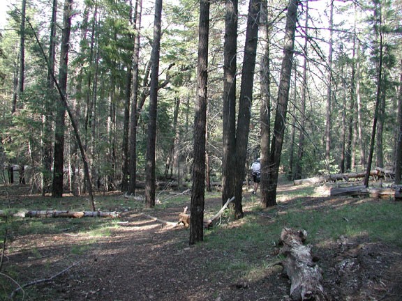
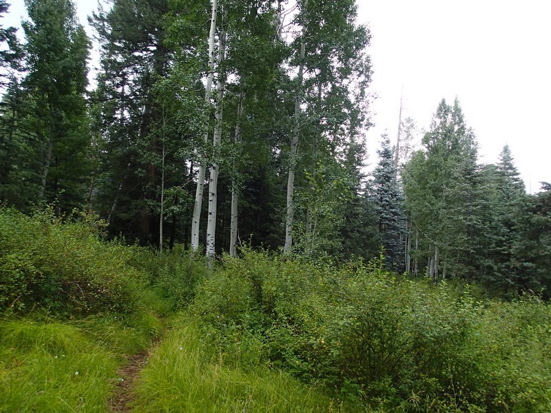
Besides the views of Mormon Lake, the other attraction on this hike is the old growth forest itself. Pine, Spruce, and even Aspen near the top are all welcome sights.
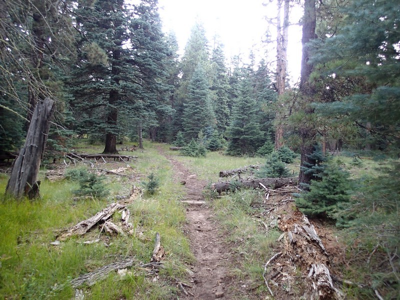
About 2.25 miles into this hike, the trail flattens out, as you are on the top of the mountain. Unfortunately, the thickness of the forest here block any views of the lake. At this point in the trail, we saw a few snow patches, as summer had not hit in earnest yet. The trail continues on to an alternate trailhead on FR648. This is the turn around point for the hike. Be prepared for some mosquitoes in the Spring/Early Summer time frame.
Enjoy!
